
Hiking from the Mt. Philo Inn
Carriage Road circ. 1902. Tiny black willows in the foreground now a canopy, Sugar maples in bottom third now fully mature. Big maple in center still standing!
Our hotel offers guests several great hikes right out the back door.
The Carriage Road is the original road from the Mt. Philo Inn to the summit of Mt. Philo. The MPI once owned Mt. Philo and built the road to the the top for tourists in 1896. The summit and 232 acres were donated to the state of Vermont in 1924 creating Vermont’s 1st state park.
Today we use the Carriage Road as a walking path to access Mt. Philo State Park.
Finding the Carriage Road:
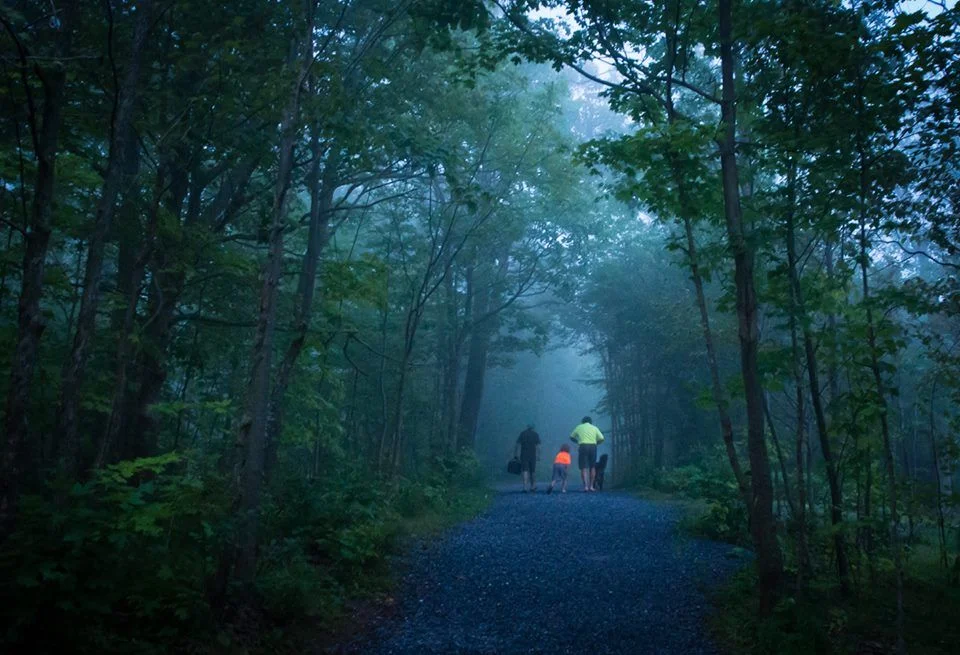
From the phone booth: Follow Inn Road up the hill past the Inn. Turn Left at the old red stone foundation wall on the left. Walk North across the foundation of the original barn. This is the Carriage Road, which started from the back of the barn. Continue straight on across the grassy terrace, through the forest of black willows and sugar maples, until you reach the tarred Summit Road.
From the stairwell exit: Cross the fountain garden and upper parking lot into our upper grassy terrace, then follow the signs North toward the tall trees. Find the tall row of black willows.
Mt. Philo Trails
Izze on the Carriage Road
Summit Road: 2 mile round trip, one hour. The preferred route to the top is an easy up the tarred roads. Only open to traffic from May till October, cars travel slowly. The road will split at the big rock into an Up Road and a Down Road. Both roads lead to the summit. Down Road travels along the North side of Mt. Philo and is 1/2 mile longer.
Devil's Chair trail: Follow Up Road at the split. Sign and stairs on left, before the sand pit. Sublime 60 ft. cliffs, unusual rock formations, giant trees, animal activity.
Blue Gate trail: 1.5 - 2 miles, mild-moderate difficulty. Follow Down Road past the Campground Road. Walk beyond the blue gate 100 yards into the field for incredible views to the north. For a longer hike (1.5 miles), follow the walking path down the hill curling north/left. After another 1/4 mile it will turn into a 12 ft. wide limestone road. Continue down the trail toward the west. Follow until the intersection with Mt. Philo Rd. Turn left/south to return to the inn.
Map courtesy of the state of Vermont. For more interaction with this map click here
The Mt. Philo Inn at the south west corner of the map. For a more interactive experience with this map please click TrailFinder here
Other hikes from the Mt. Philo Inn
Inn Road: 1/2 mile Follow Inn road up the hill behind the MPI. This road dead-ends at the top of the plateau with fantastic views to the south and east. Guests can cross the field between the 2 fenced fields, then head down the road till Spear St. Please be considerate of our neighbor’s privacy.
The Charlotte Town Link Trail 2 miles. It starts at the entrance to Mt. Philo State Park and can be used for walking, running, biking and skiing. When completed it will travel 7 miles northwest till it reaches Town Beach. Sections near us are done! Walk west 3/4 mile along State Park Road till you reach the beginning of the off-road segment on the right across from the Inn at Charlotte. Follow the wide gravel trail along the length of the vineyard, then across Rt 7, past the pond and little league field, along the Charlotte Berry Farm fields till the co-housing community lands.
Thompson’s Point: 3 miles: Follow the map to Thompson’s Point. Or Right/north on Mt. Philo Rd. 1/4 mile, Left/west on State Park Rd. 1/2 mile. Right Rt. 7 1/4 mile, Left/west East Thompson’s Point Rd. 1.5 miles, Left to continue on Thompson’s Point Rd. Pass Point Bay Marina. Park at 1st intersection
Thompson's Point is a nearby 3 mile hike around a peninsula.
Pease Mountain Trail-See Charlotte Trails map
Charlotte Park and Wildlife Area: See Charlotte Trails map
Williams Woods: 2 mi. See Charlotte Trails map
Burlington Bike Path: 7 miles Converted from the Central Vermont Railway to a bike path in the 1970s, this easy trail skirts the lake, crossing through beaches and parks, and offers great views of Lake Champlain, the Adirondacks and Burlington.
Middlbury Land Trust: The "TAM" as it is known locally, is a major project of the Middlebury Area Land Trust. The TAM, a 16-mile footpath, encircles the village of Middlebury and links several hundred acres of town land, conserved properties, schools, and other local landmarks ...